GR20 Complete Self-guided Hike
Strike “complete hardest hike in Europe” off your bucket list
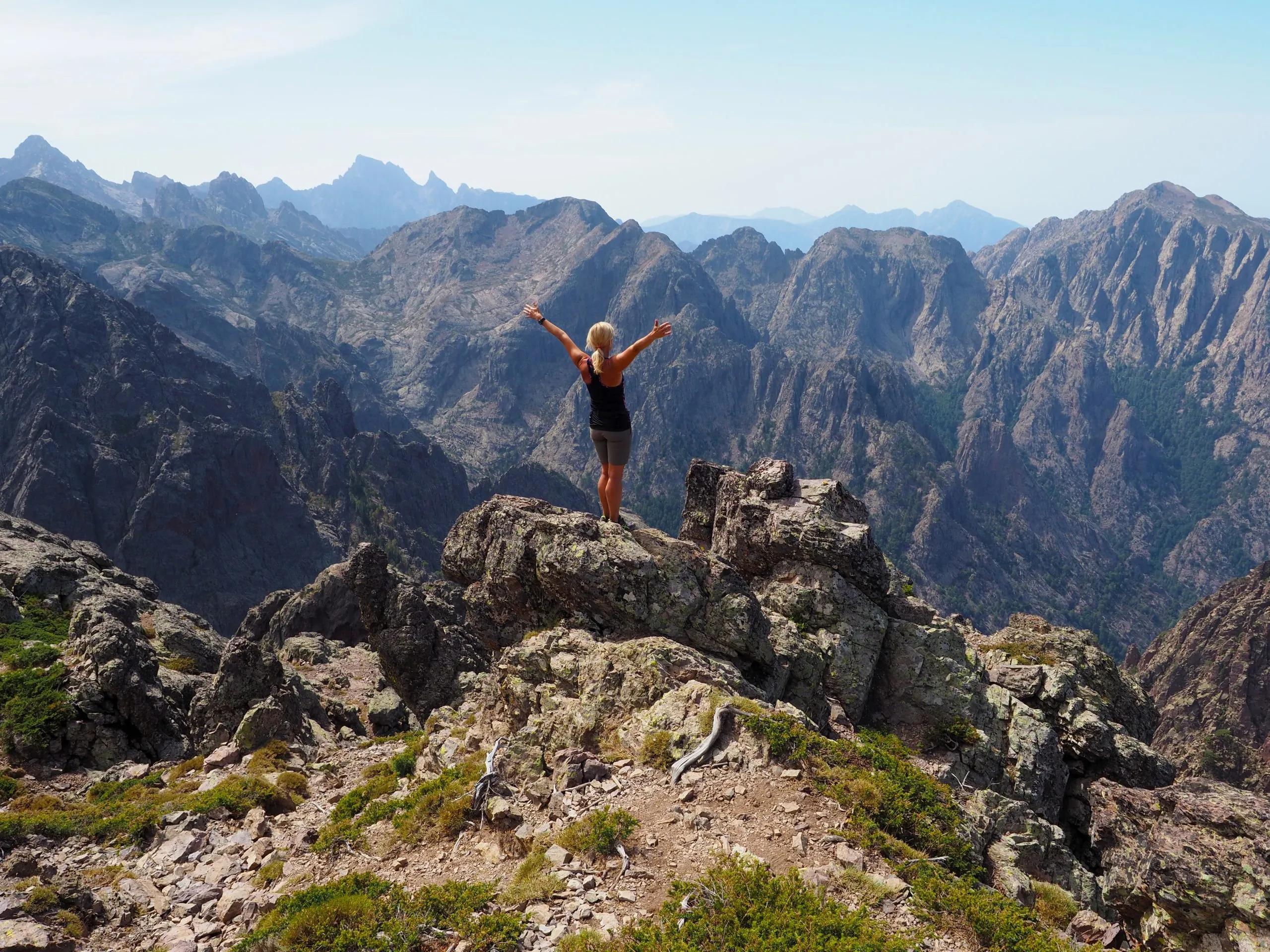
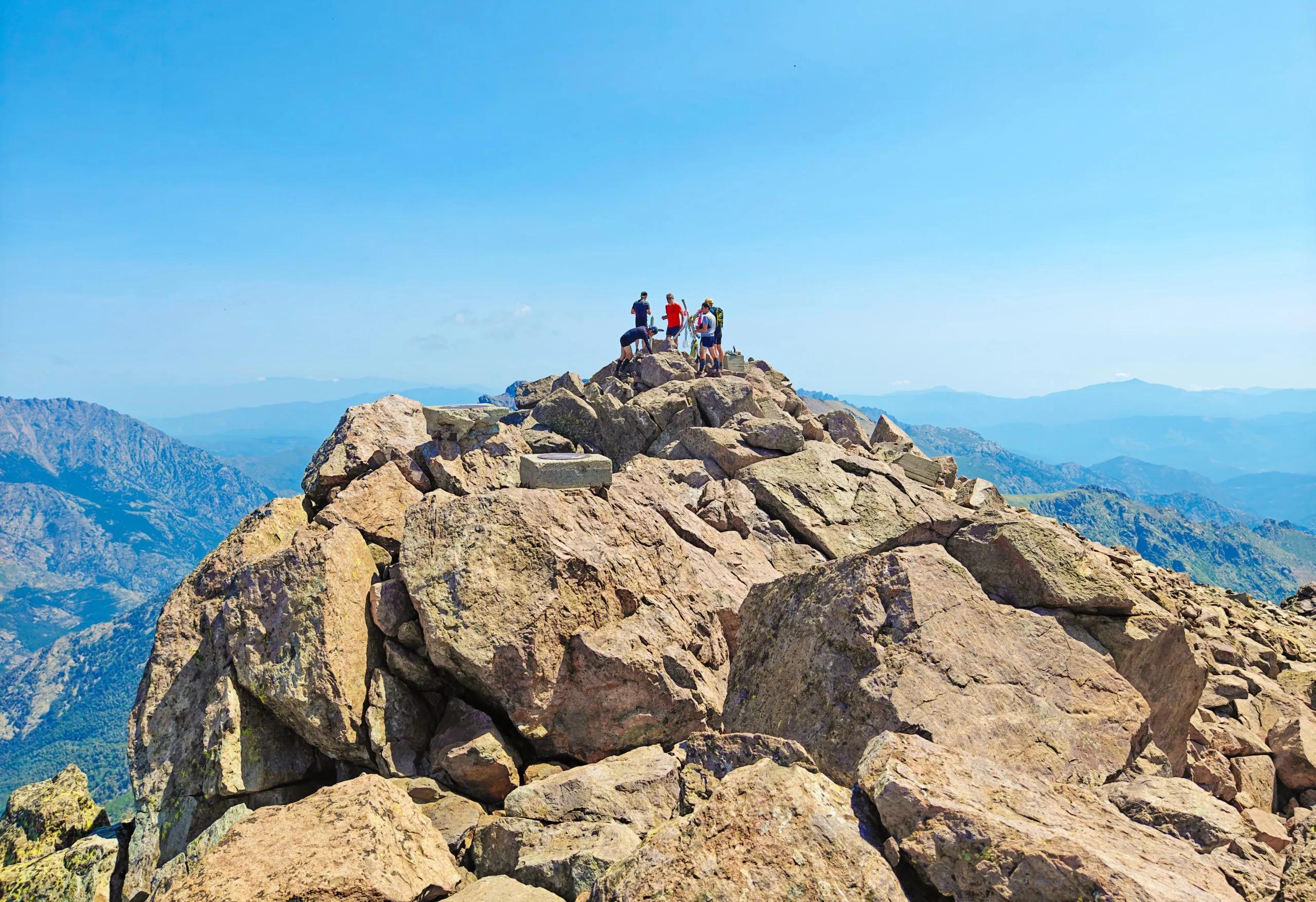
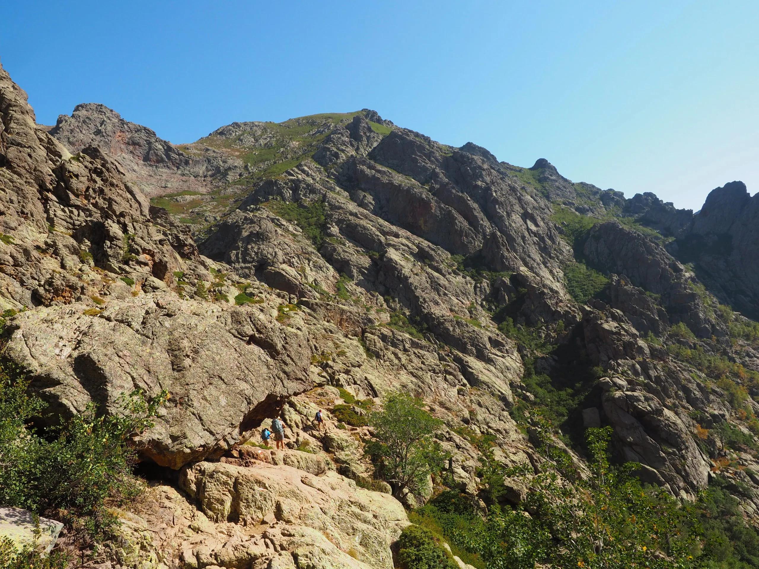
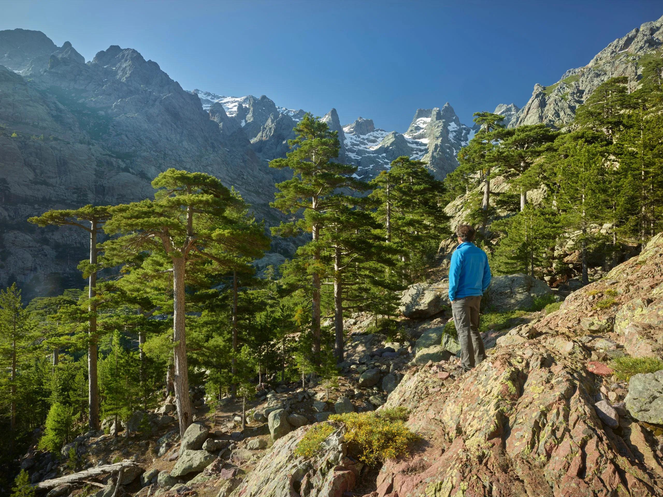
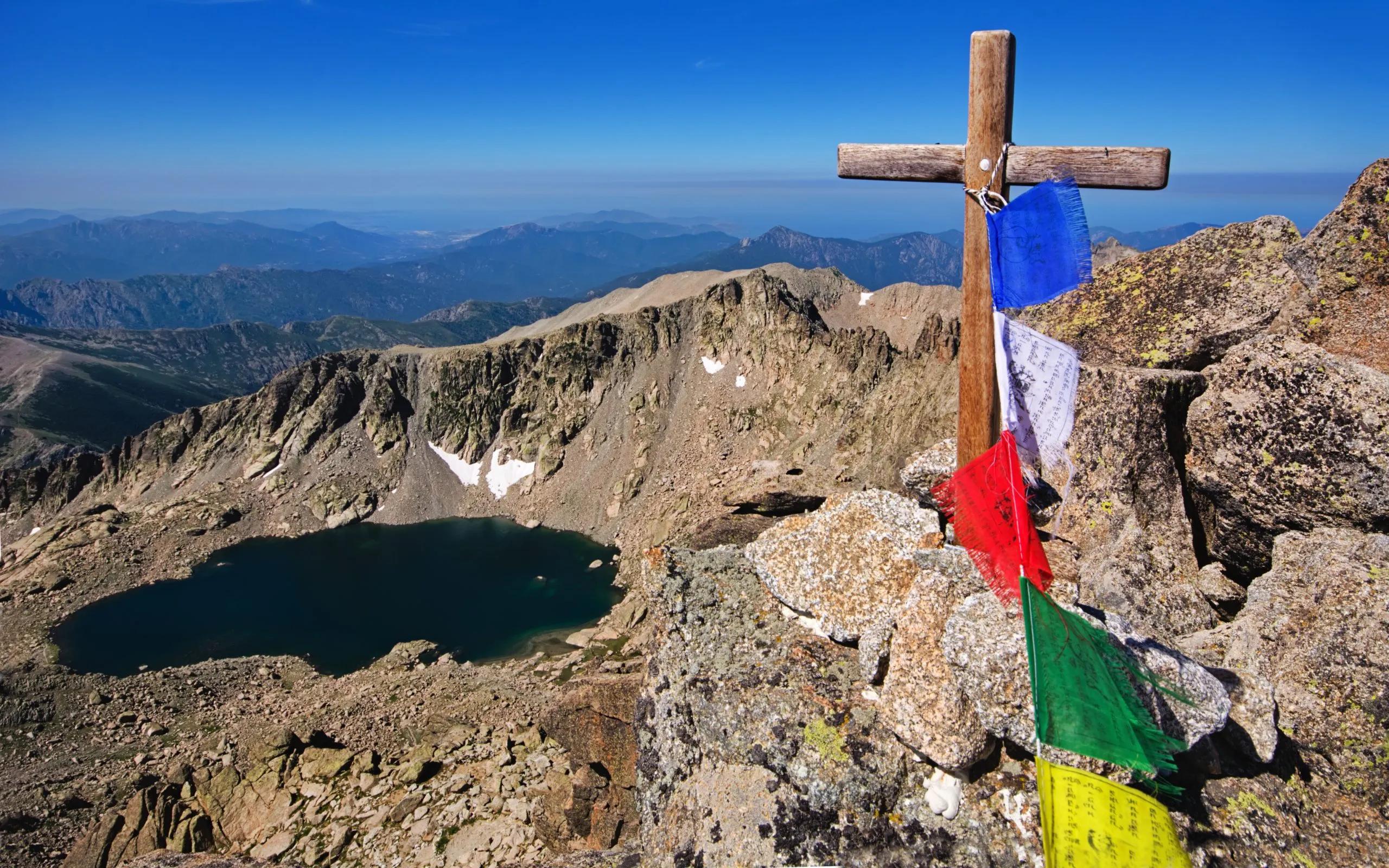
Traverse the rugged beauty of Monte Cinto
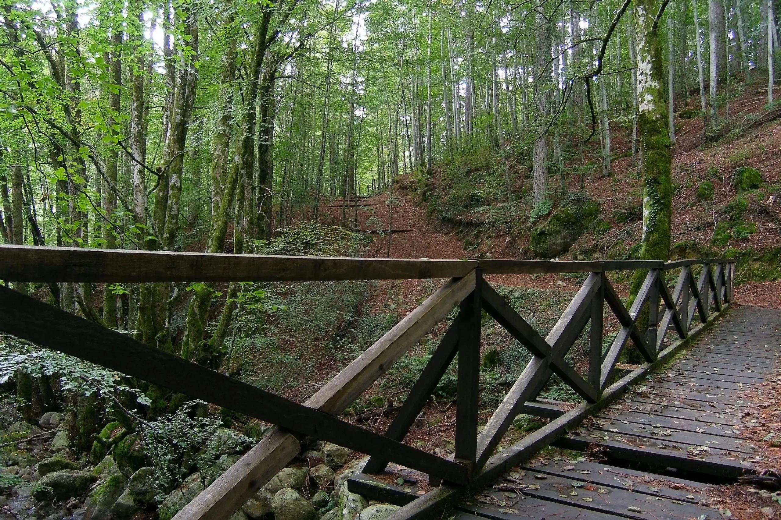
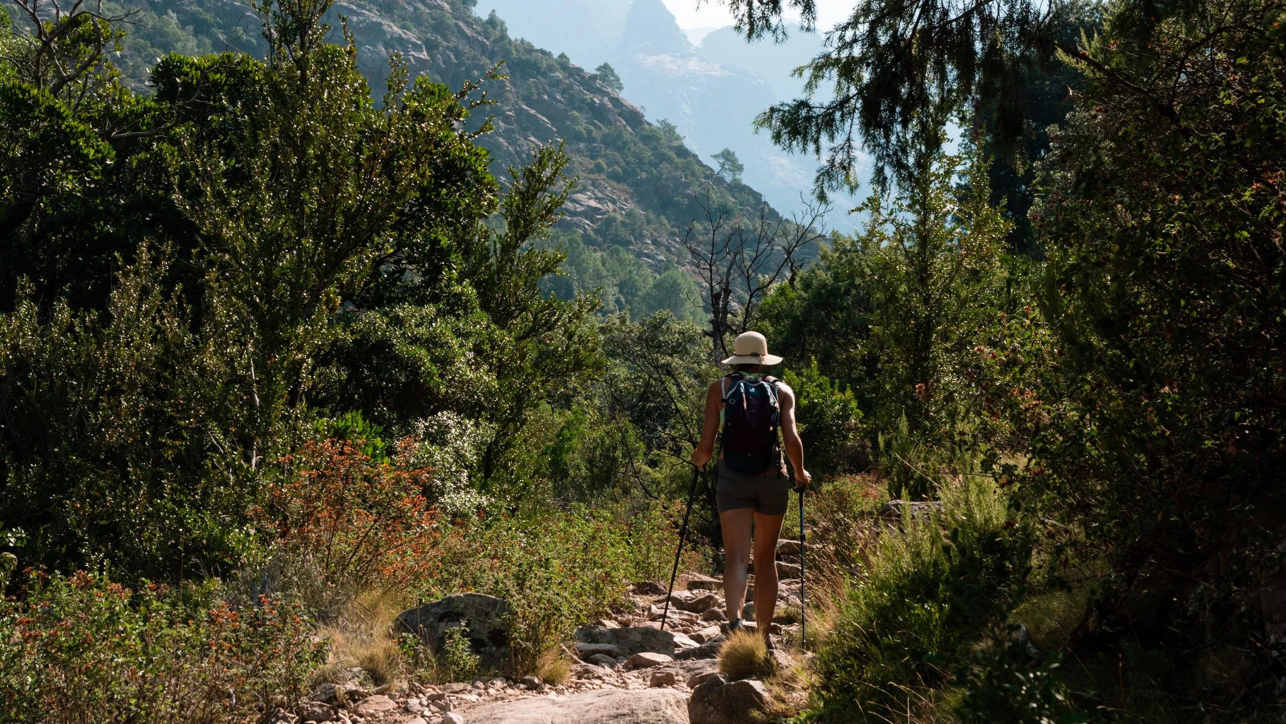
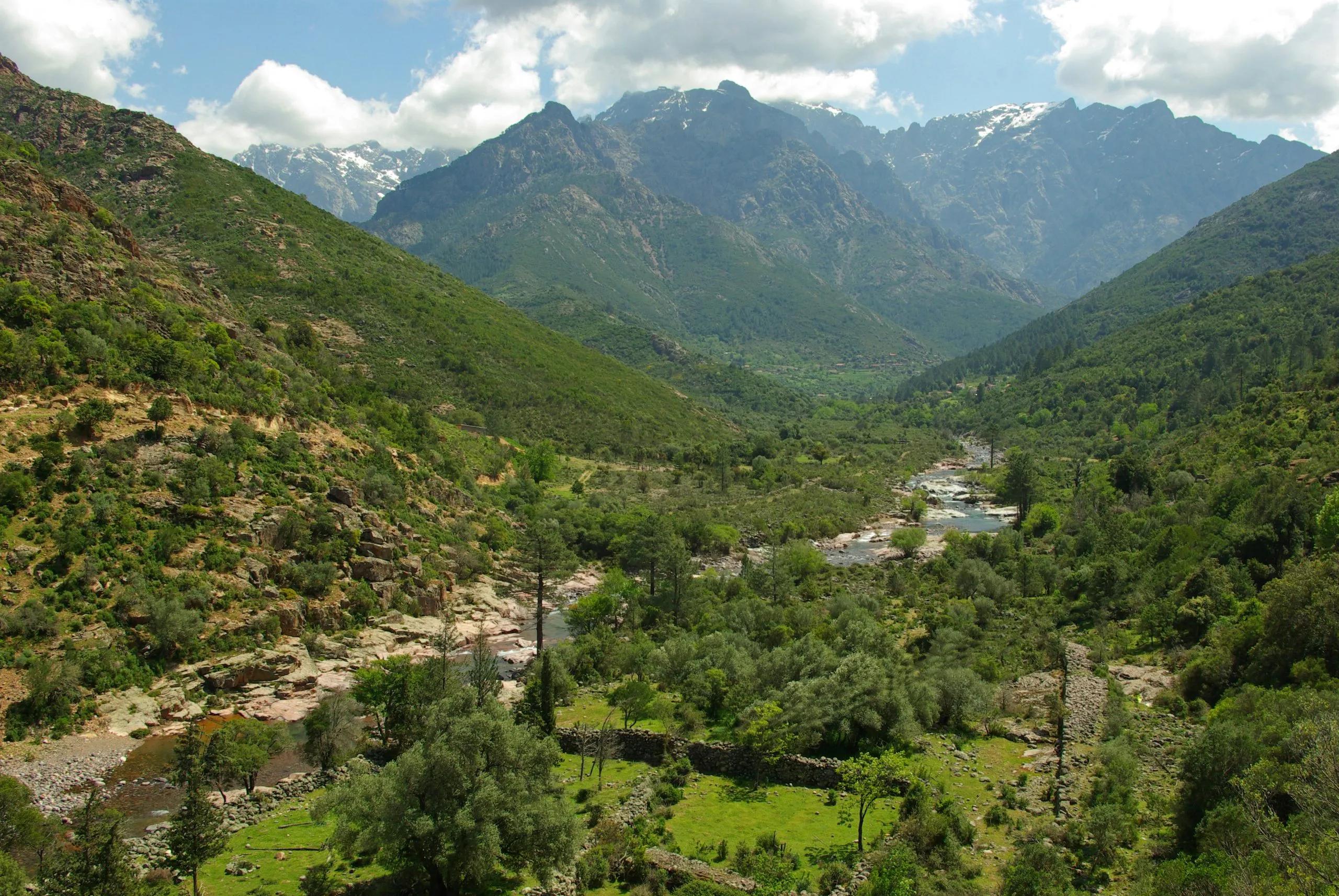
Discover the lush, forested trails of Vizzavona
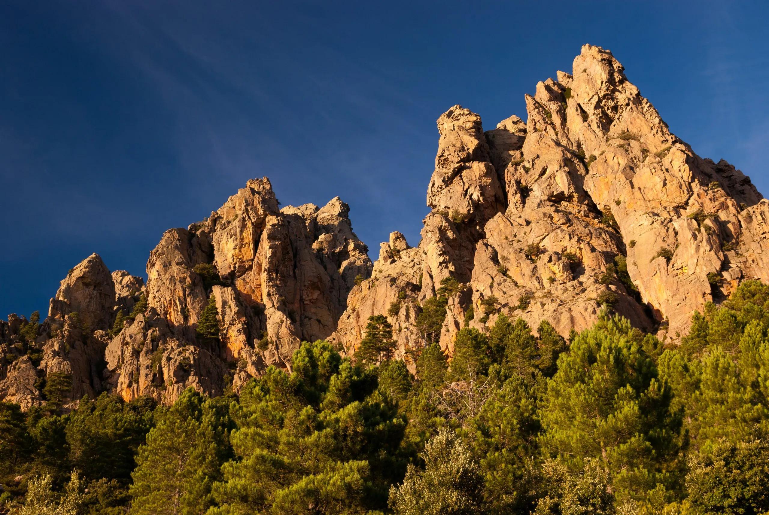
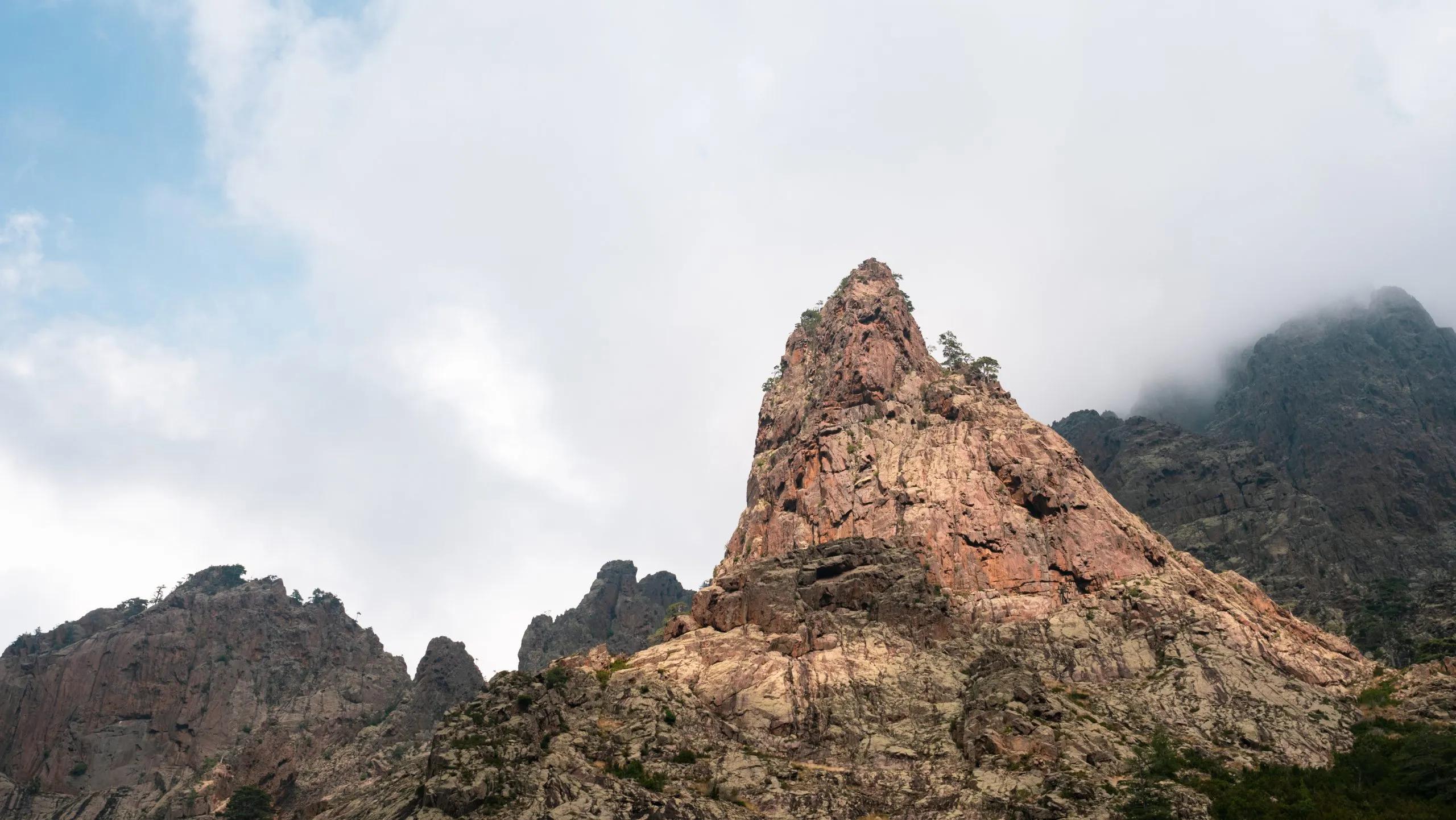
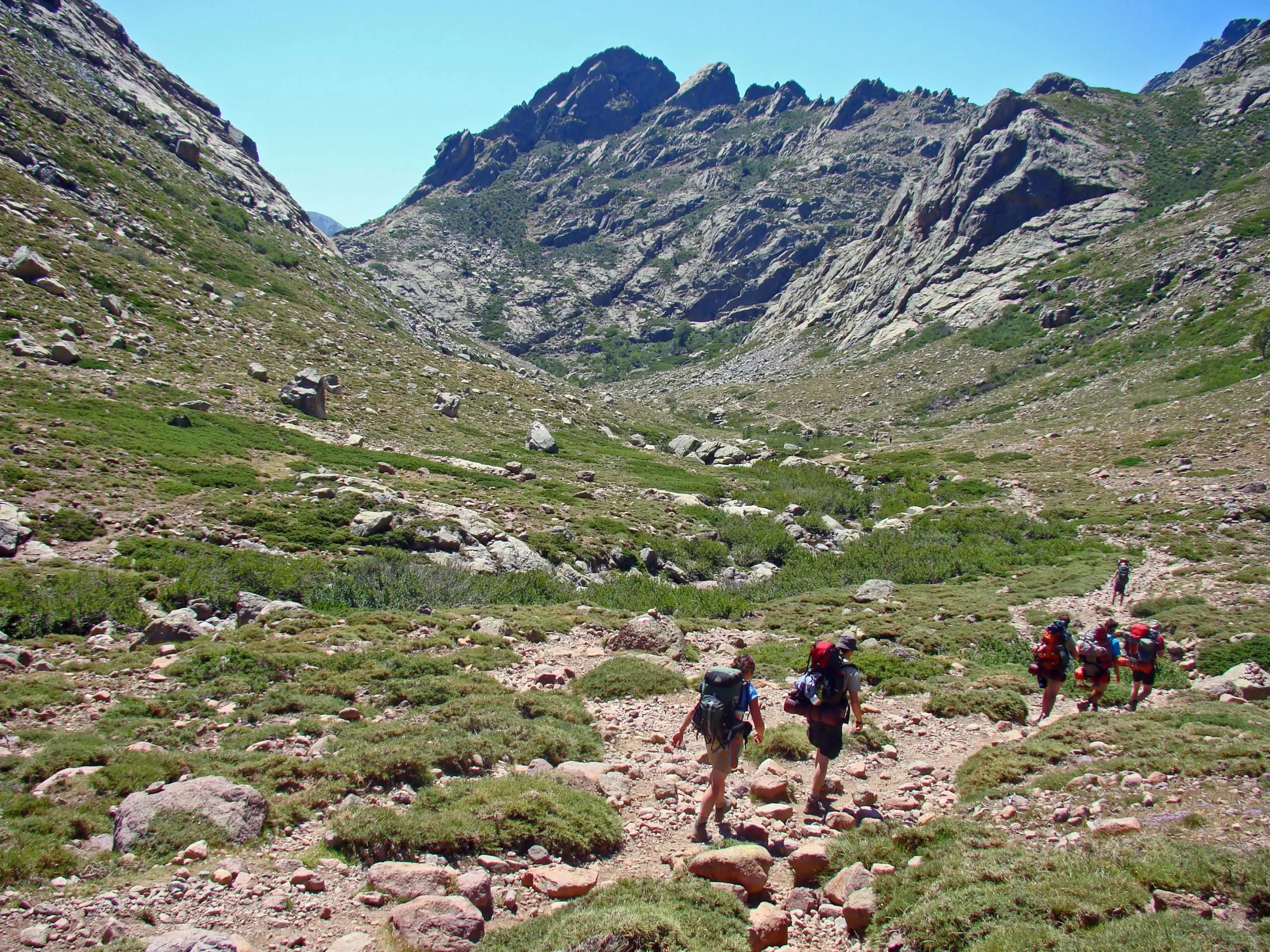
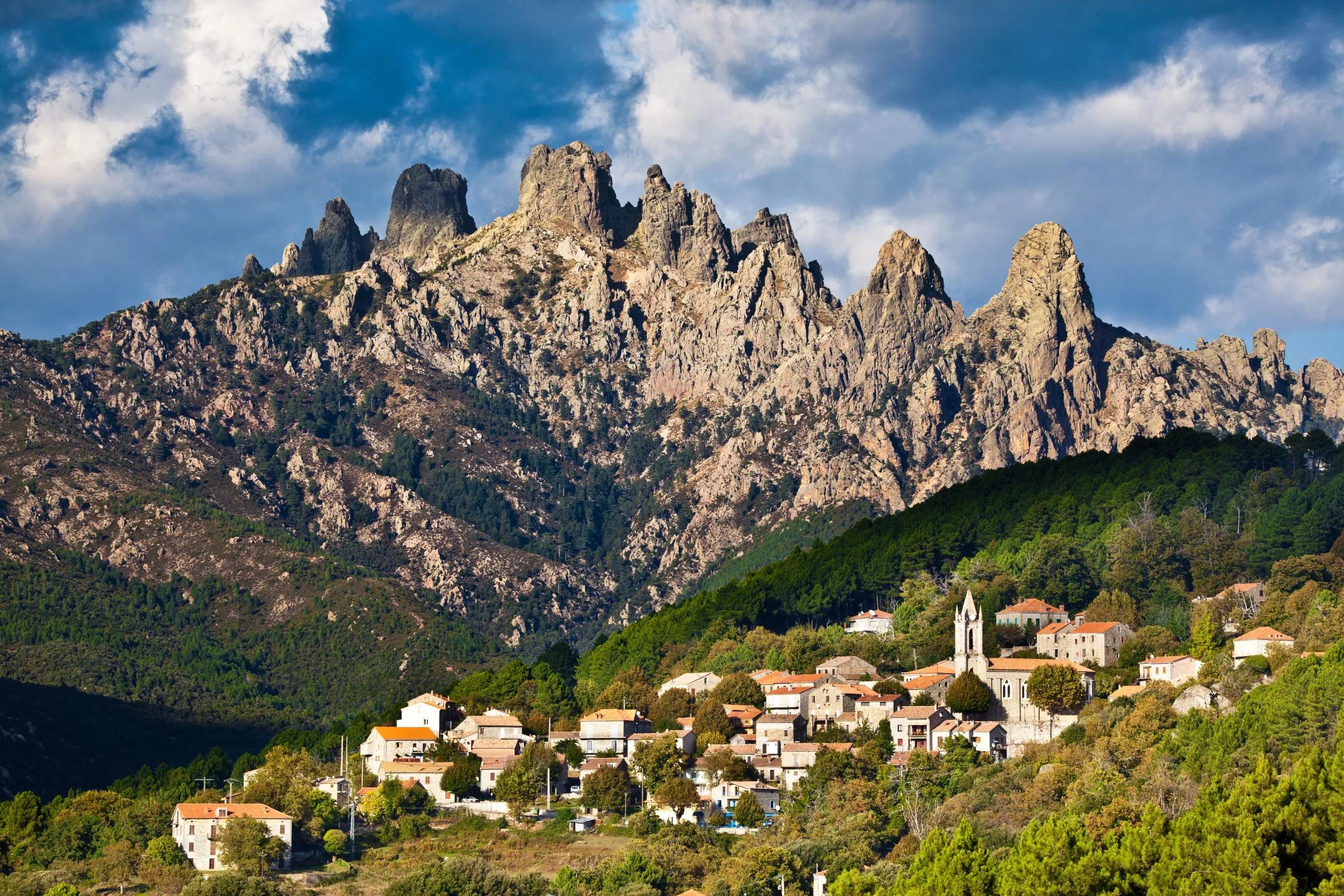
Navigate the striking Aiguilles de Bavella
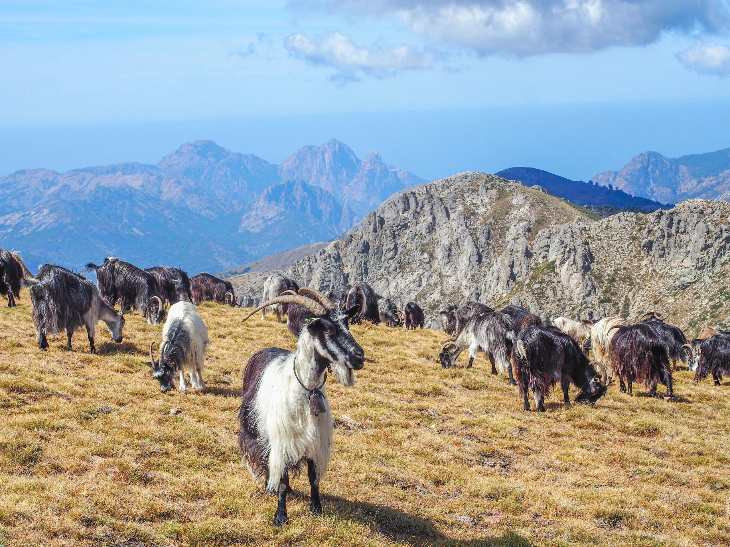
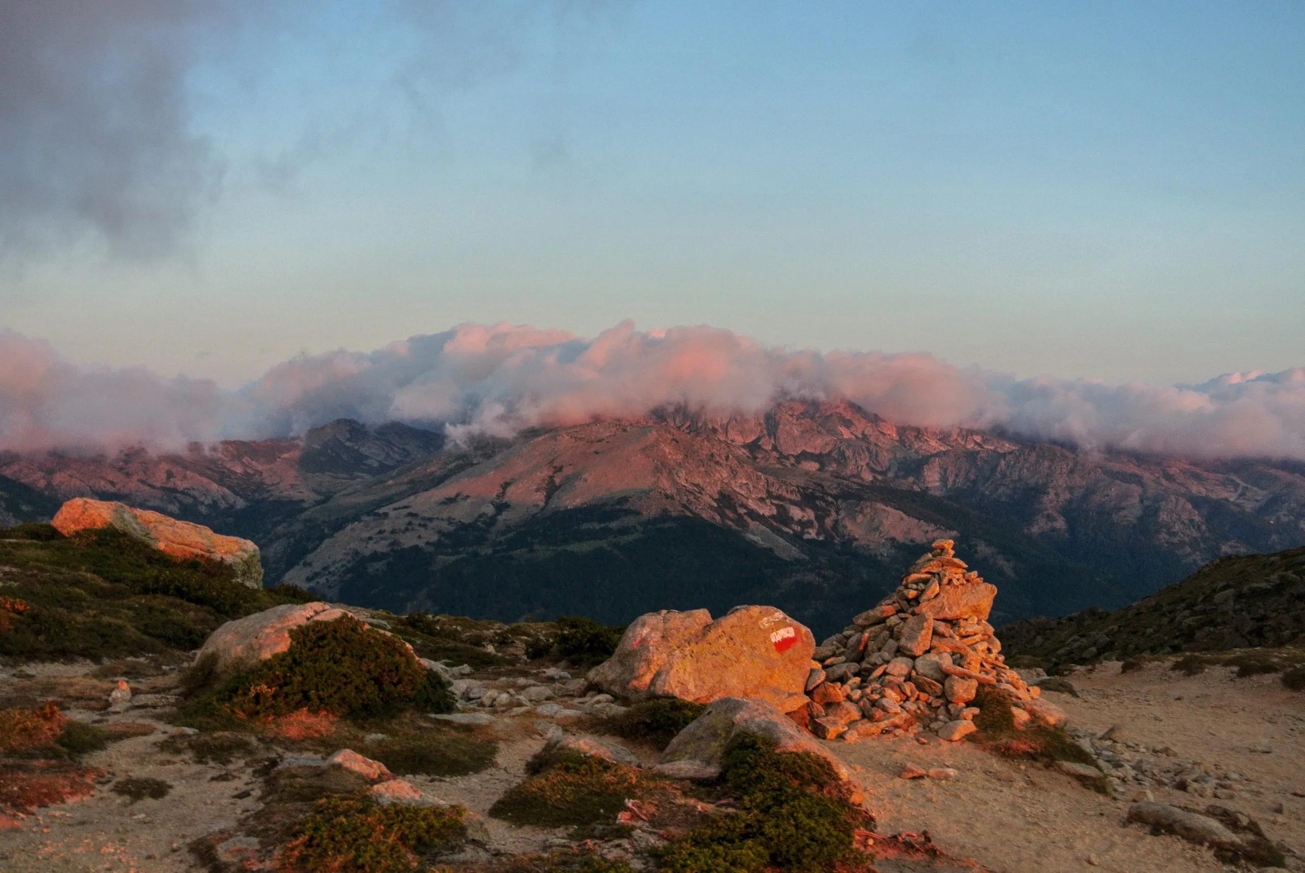
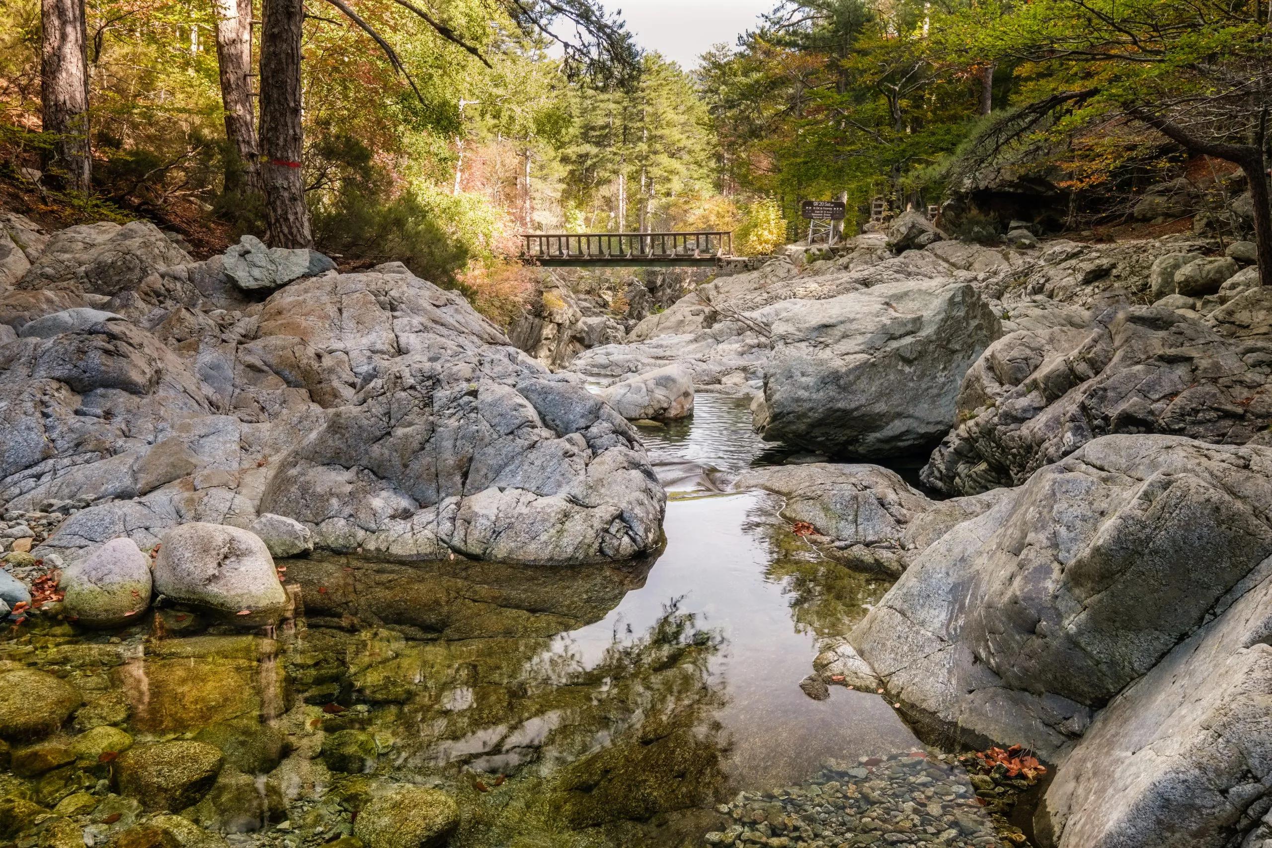
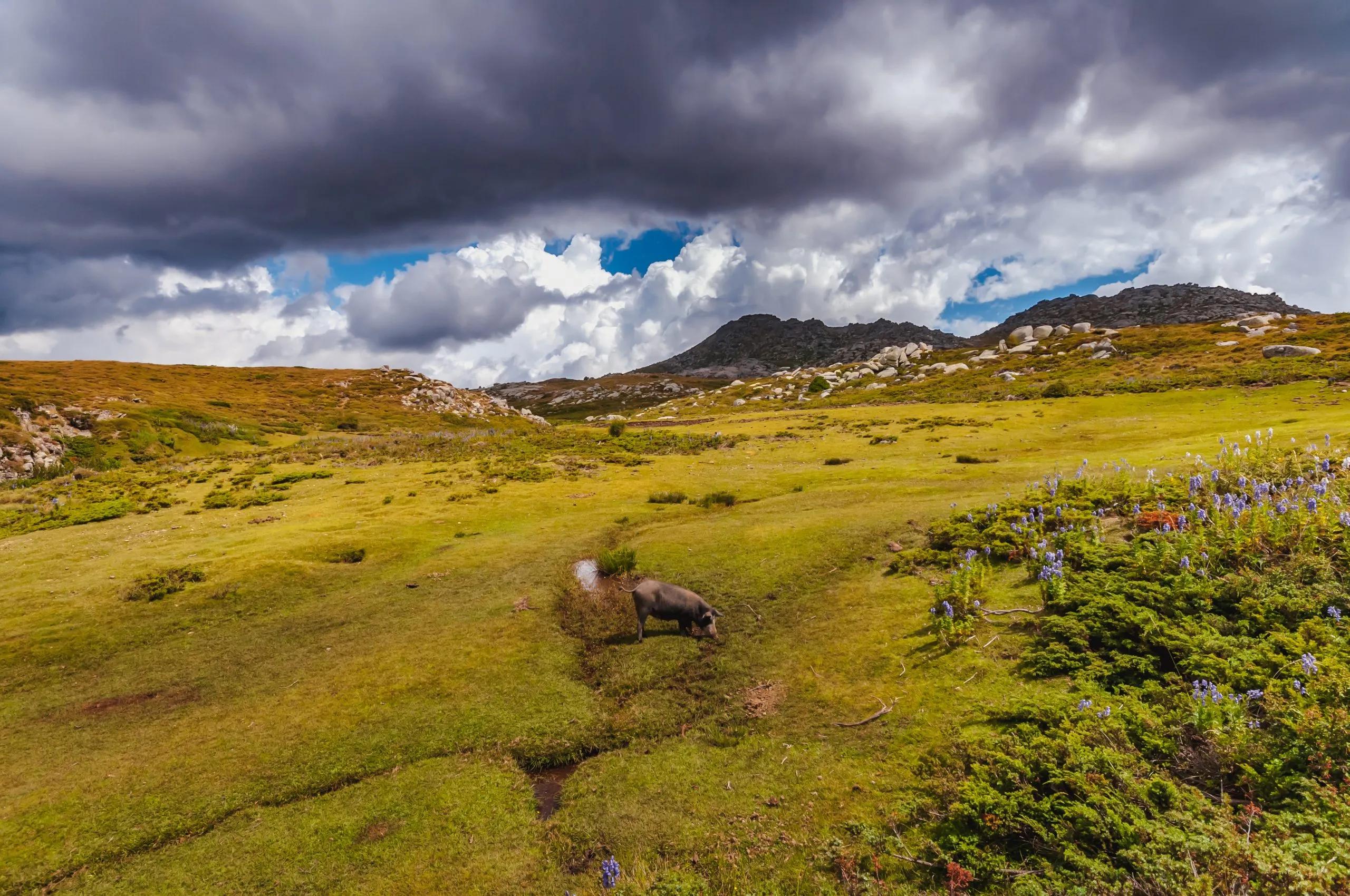
Experience the serene Coscione Plateau
Itinerary
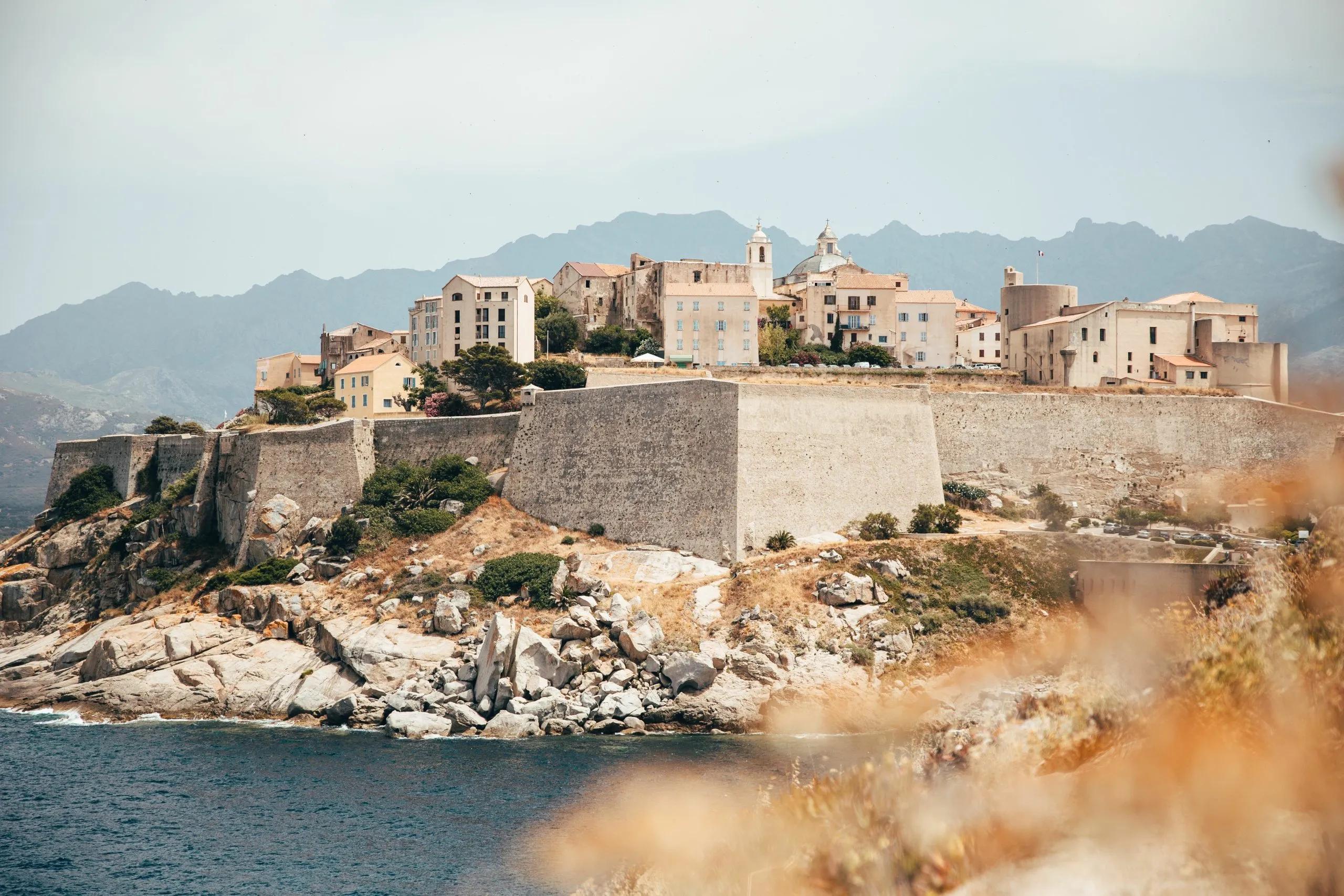
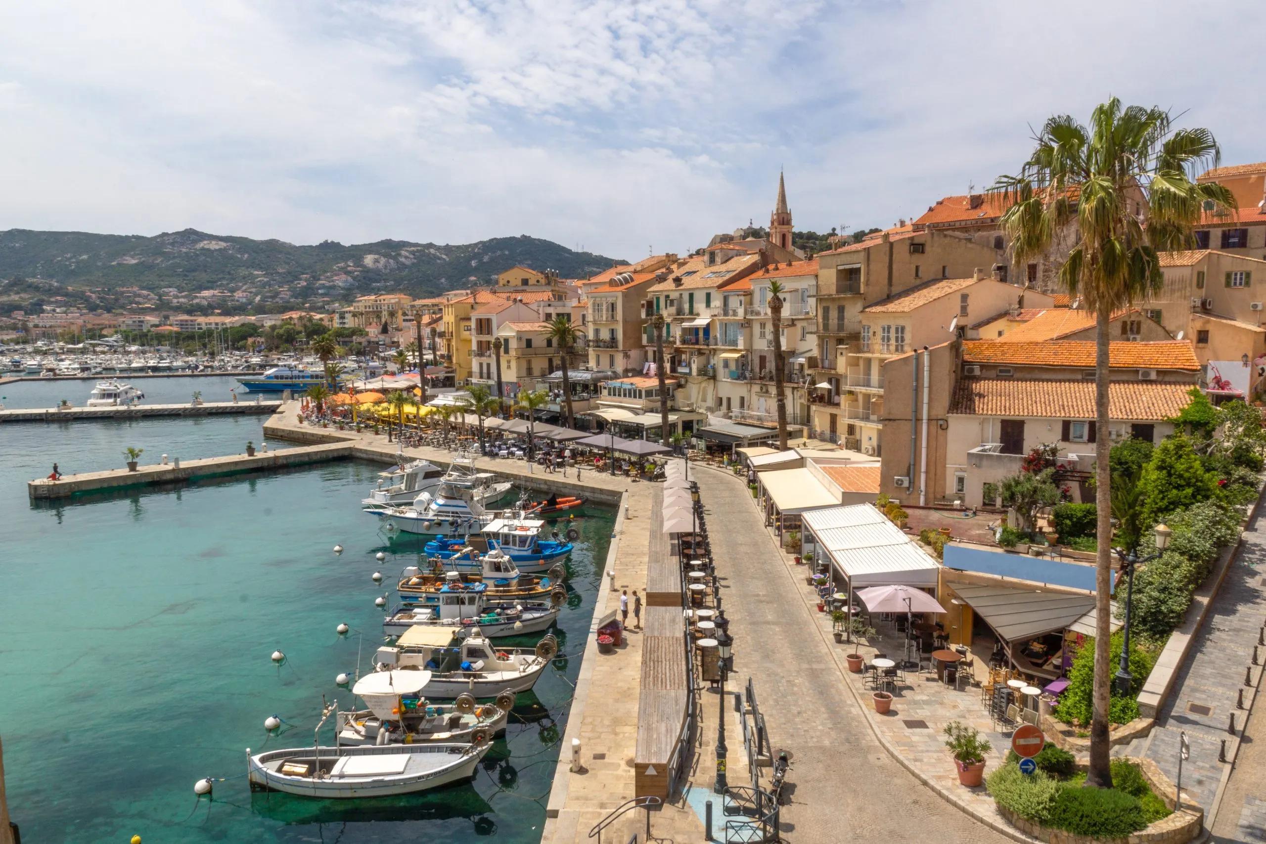
Your ultimate adventure begins in Calvi. Take the day to relax, recharge and fill your supplies as you prepare yourself for an epic journey through some of the most breathtaking terrains Europe has to offer. Make sure you have all the necessary equipment and get a good night’s sleep.
Hotel in Calvi
Your first day begins with a quick taxi ride to Calezana, the official starting point of the GR20.
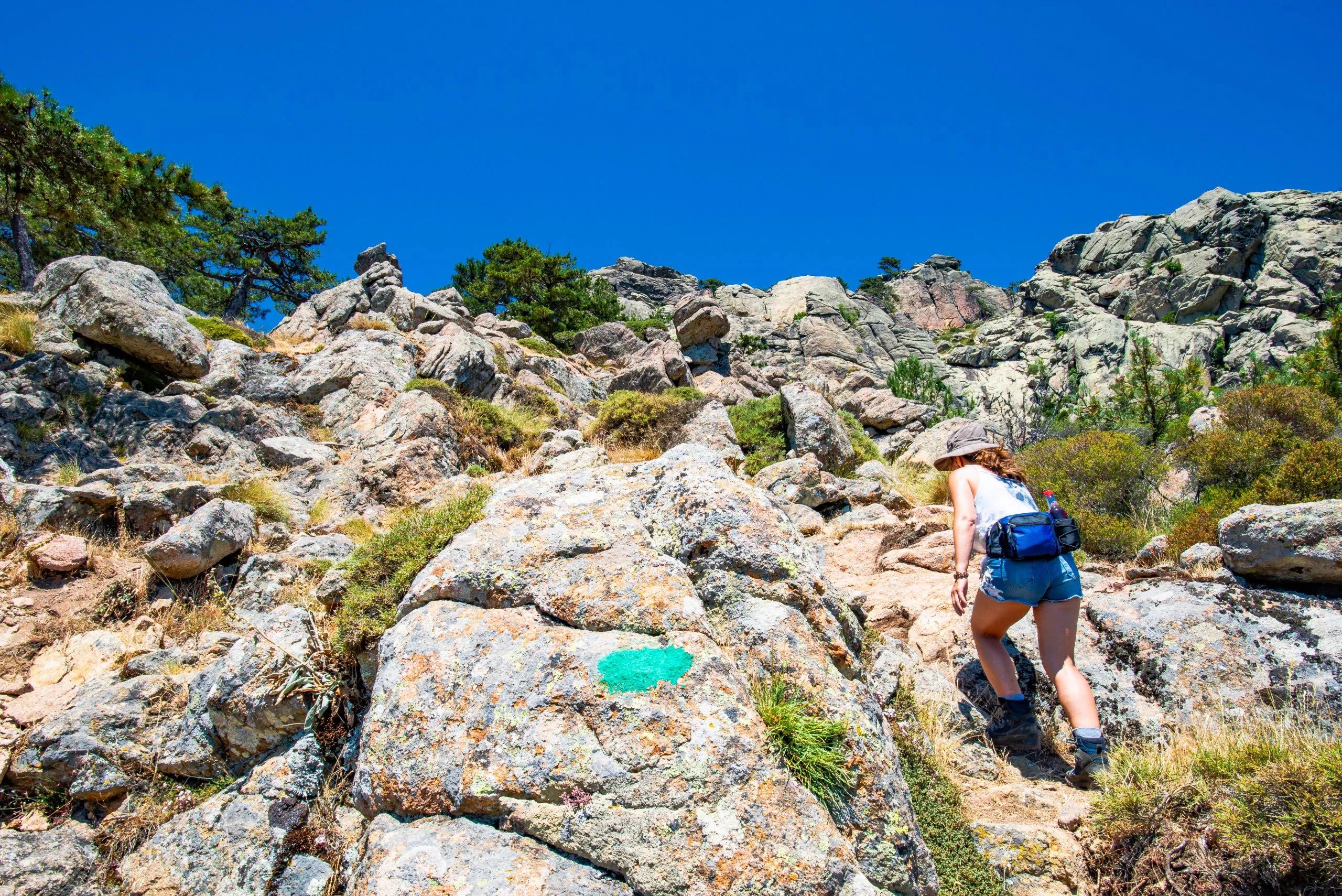
You will dive straight into a challenging ascent from Calenzana across the massif of Bonifatu. Due to varied terrain and steep elevation, your first day will also be one of the most exhausting and rewarding. Soon enough you will be looking down at the coastline, making your way towards the Refuge d’Ortu di u Piobbu for some well-deserved rest.
11 km and 1460 m elevation gain / 180 m elevation loss
Refuge d’Ortu di u Piobbu
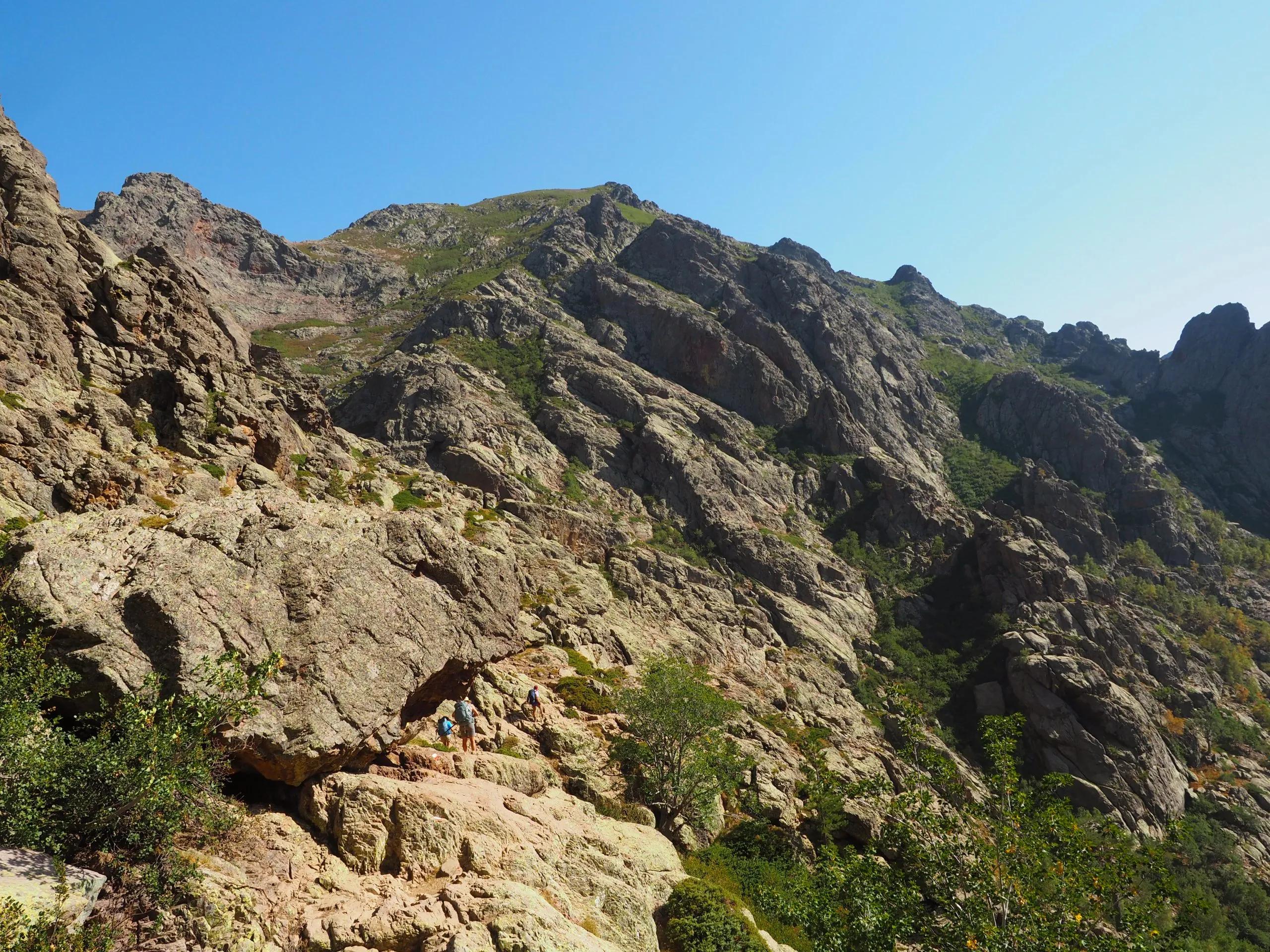
Today will require some navigation of difficult terrain. The trail will take you right into the heart of the mountains. You will work your way around the edge of a large cirque, which will require some climbing, but the views of the highest peaks will make it worth the trouble. You will spend the night at Refuge de Carrozzu to recharge your batteries.
7 km and 750 m elevation gain / 600 m elevation loss
Refuge de Carrozzu
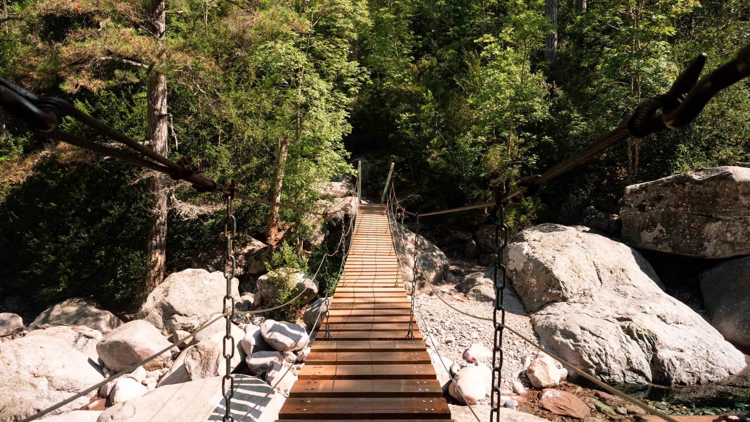
As you leave the refuge, you will make your way towards the famous Spasimata slabs and across the Spasimata suspension bridge. Although some sections of the path have helpful cables, most of the slabs are unprotected so make sure you proceed with caution. The ascent towards the Bocca di Stagnu is challenging as well, but as you descend to Refuge d’Asco Stagnu, you will feel nothing but pride for having put another challenging day behind you.
7 km, 800 m elevation gain / 1000 m elevation loss
Refuge d’Asco Stagnu
This segment will guide you through the heart of Corsica’s high mountains, ascending to the desolate yet beautiful landscapes around Vallone. The route is steep and challenging, with a rocky path and loose scree. It will take you to a small lake and forward to the ‘Pointe des Eboulis’, the highest point of the GR20 hike with a breathtaking view. Continue onwards to Vallone to end your day with a nice meal and a place to rest.
6 km, 1200 m elevation gain / 300 m elevation loss
Vallone
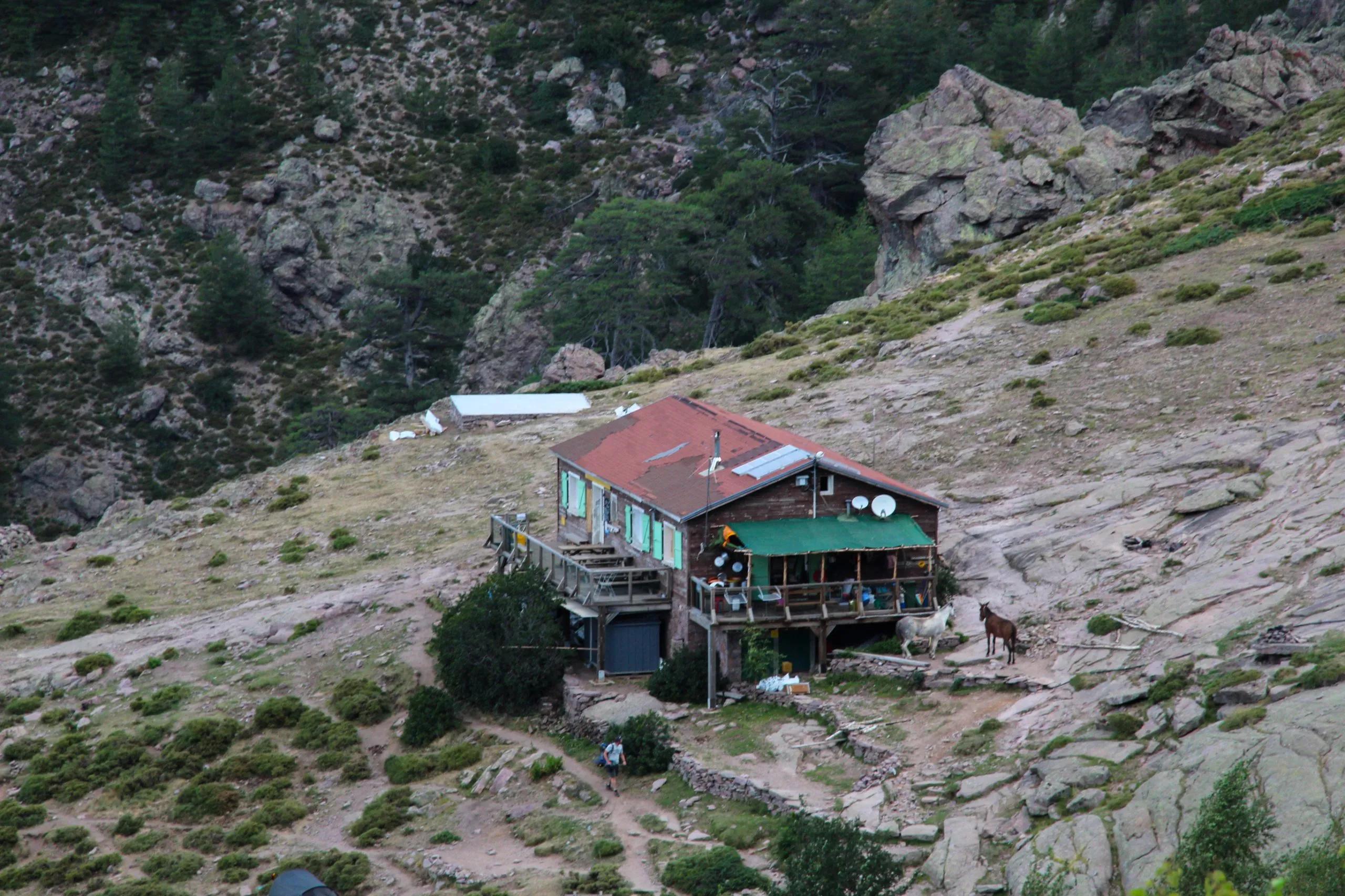
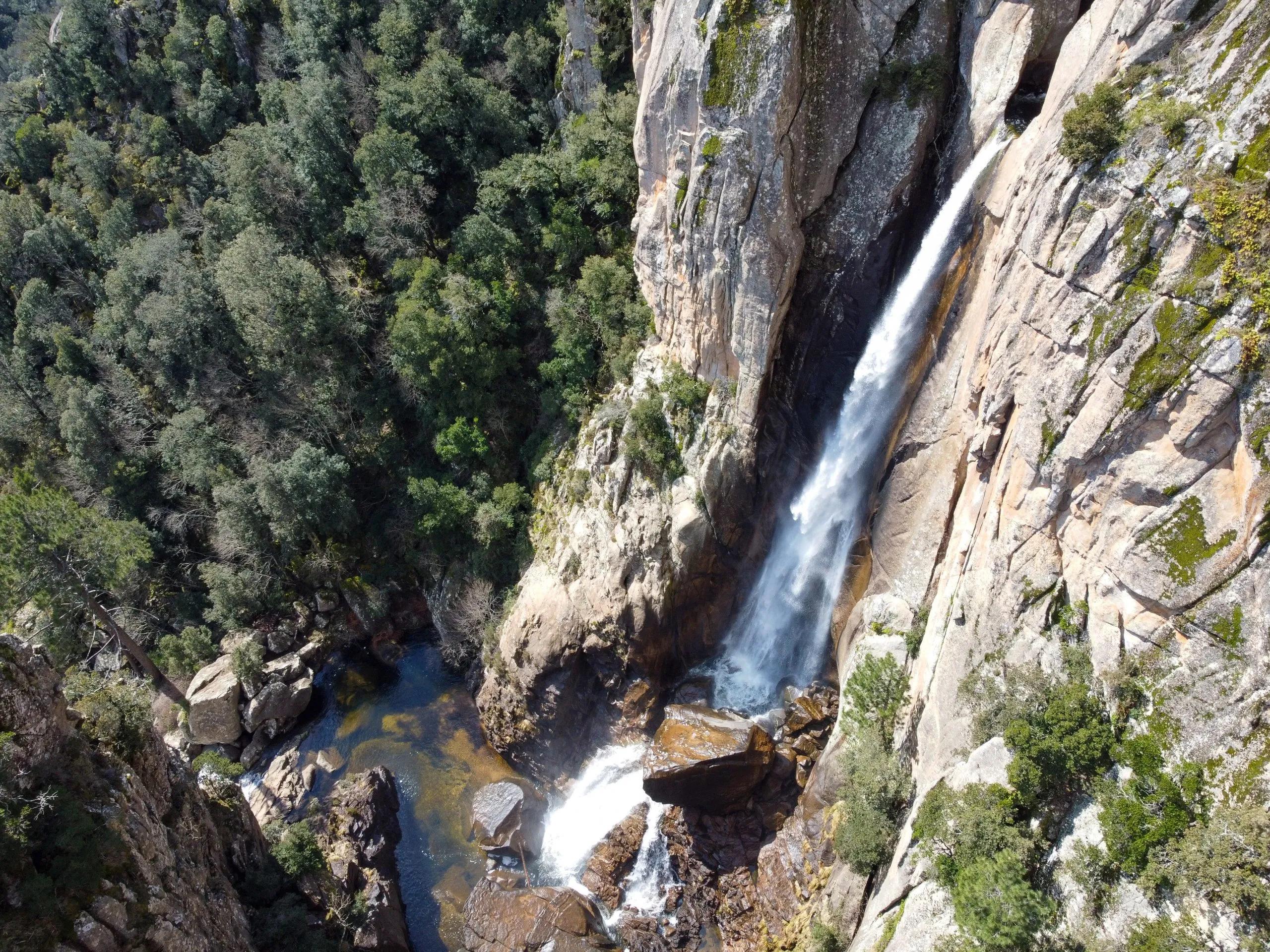
Today you will head on towards Refuge de Ciottulu di i Mori, known for hosting Corsica’s highest waterfall. The journey’s rugged paths will lead through some of the GR20’s most breathtaking panoramas, offering unspoiled views of the island’s mountainous heart. The climb involves a continuous, steep ascent. It includes a few brief sections where hands-on climbing is necessary. The route lacks shade, making the climb particularly strenuous. The Refuge te Ciottulu di i Mori where you will spend the night is the highest one on the trail and a great place to enjoy a drink and take in the views.
8 km, 800 m elevation gain, 200 m elevation loss
Refuge de Ciottulu di i Mori
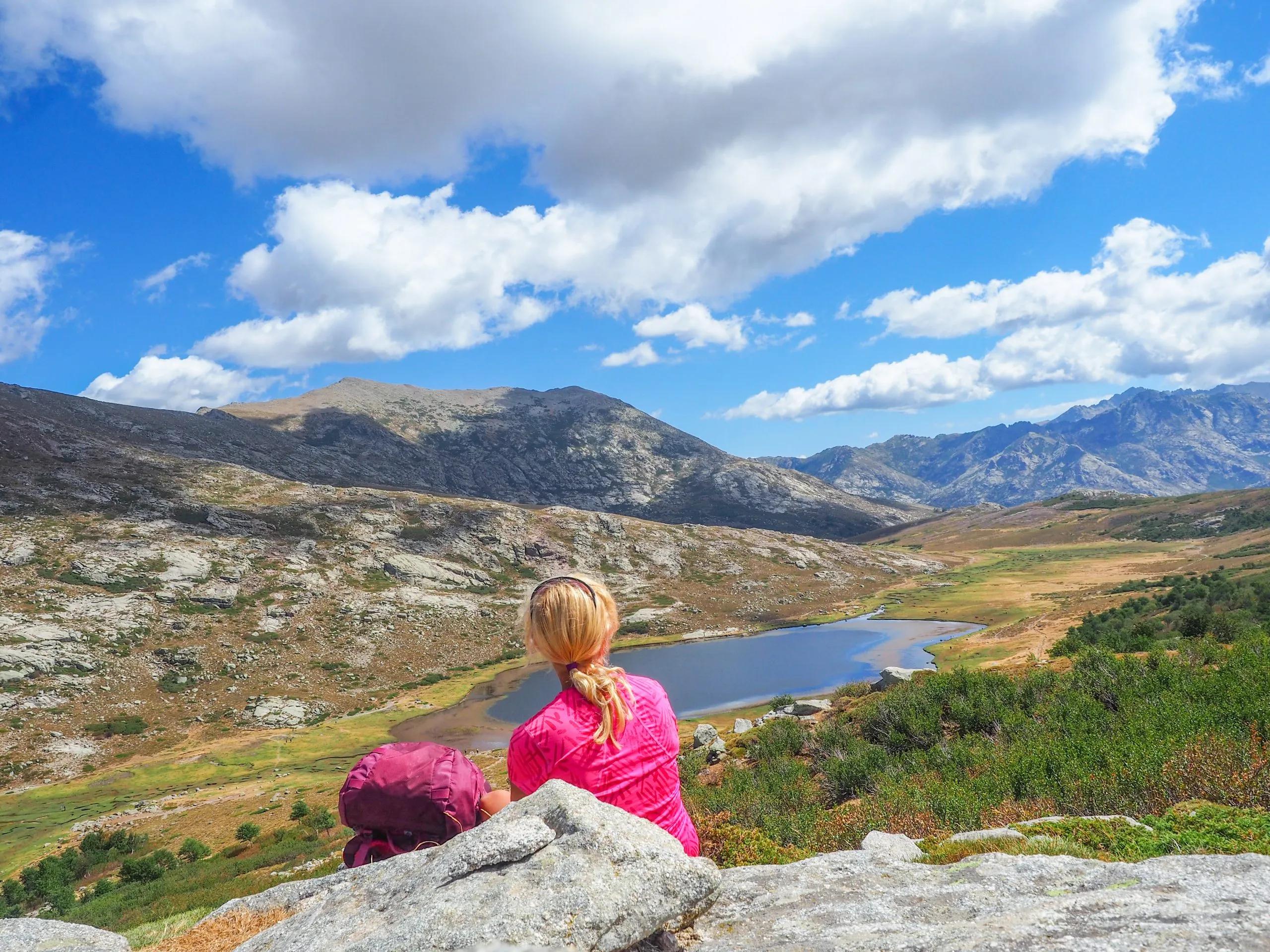
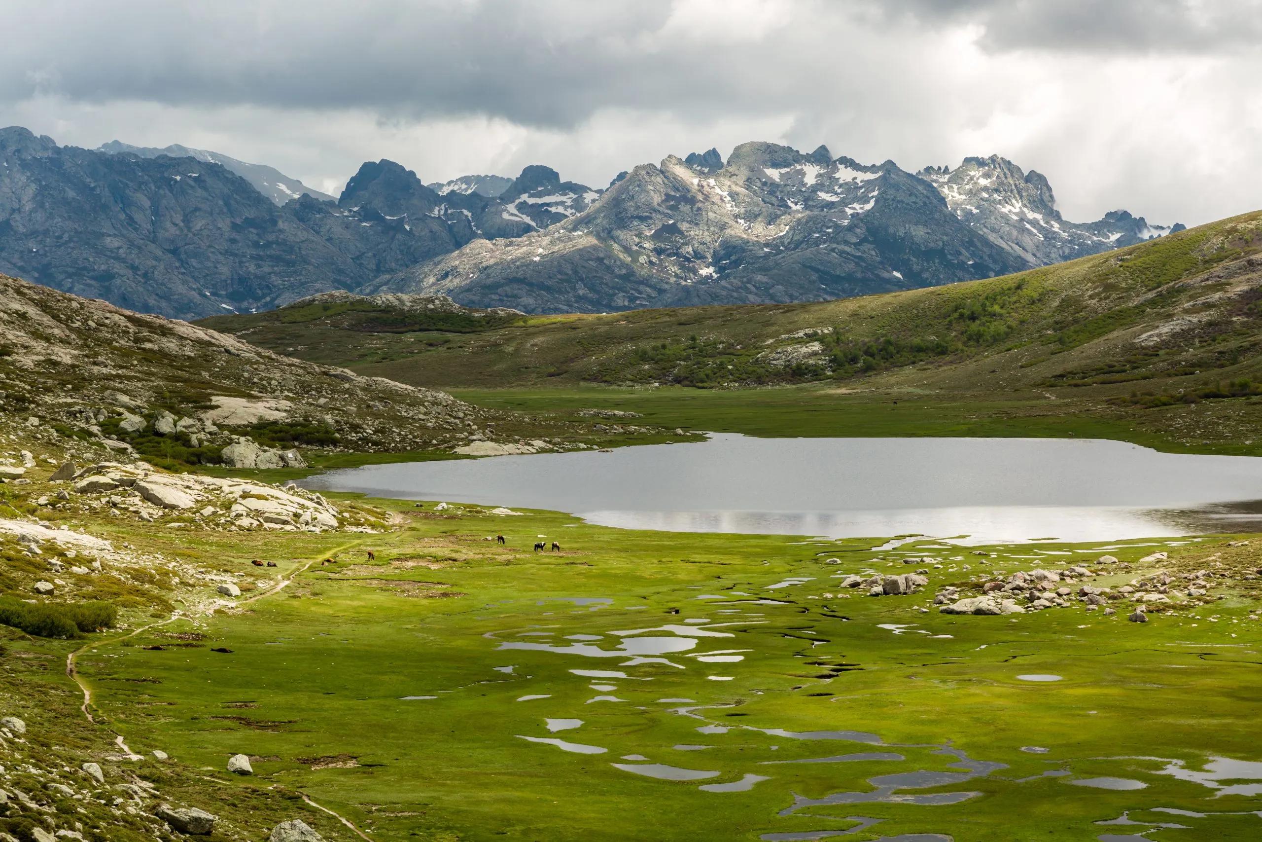
After a couple of difficult days, it is time to enjoy your connection with nature. Today’s long hike weaves through the picturesque shepherd’s paths to the tranquil Refuge de Manganu. The route is adorned with streams and lush meadows, showcasing Corsica’s diverse beauty. Keep your eyes out for wild horses as you pass Lake Nino and head on to Refuge de Manganu for the night.
8 km, 1000 m elevation gain / 500 m elevation loss
Refuge de Manganu
Your journey continues to Refuge de Pietra Piana through paths flanked by the dramatic Corsican landscapes, revealing pristine lakes Melu and Capitello and the majestic Monte Rotondo. It’s another day filled with nature’s artworks, culminating in the serene setting of Pietra Piana.
8 km, 1000 m elevation gain / 500 m elevation loss
Refuge de Pietra Piana
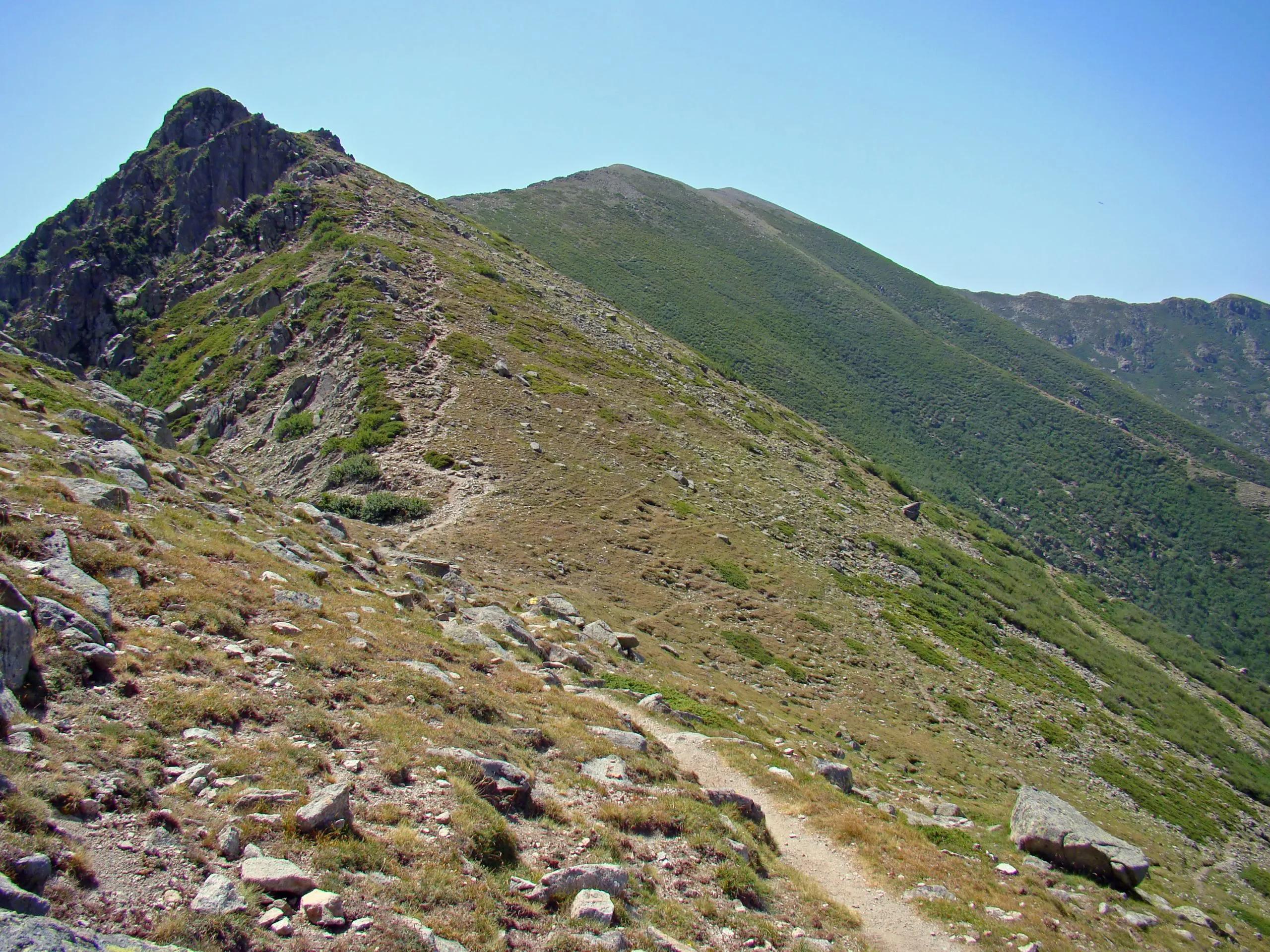
Transitioning through diverse terrains, today’s route takes you from the alpine ambiance of Pietra Piana down to the wooded sanctuary surrounding Refuge de l’Onda. Some passages on the path might be tricky, especially in case of strong winds. It’s a relatively short yet technical section. In bad weather, particularly if it’s windy, the ridge walk is replaced by a GR20 variant that is at a lower level and leads safely down into the valley. You arrive at Refuge de l’Onda cutting out the exposed section.
9 km, 600 m elevation gain / 1100 m elevation loss
Refuge de l’Onda
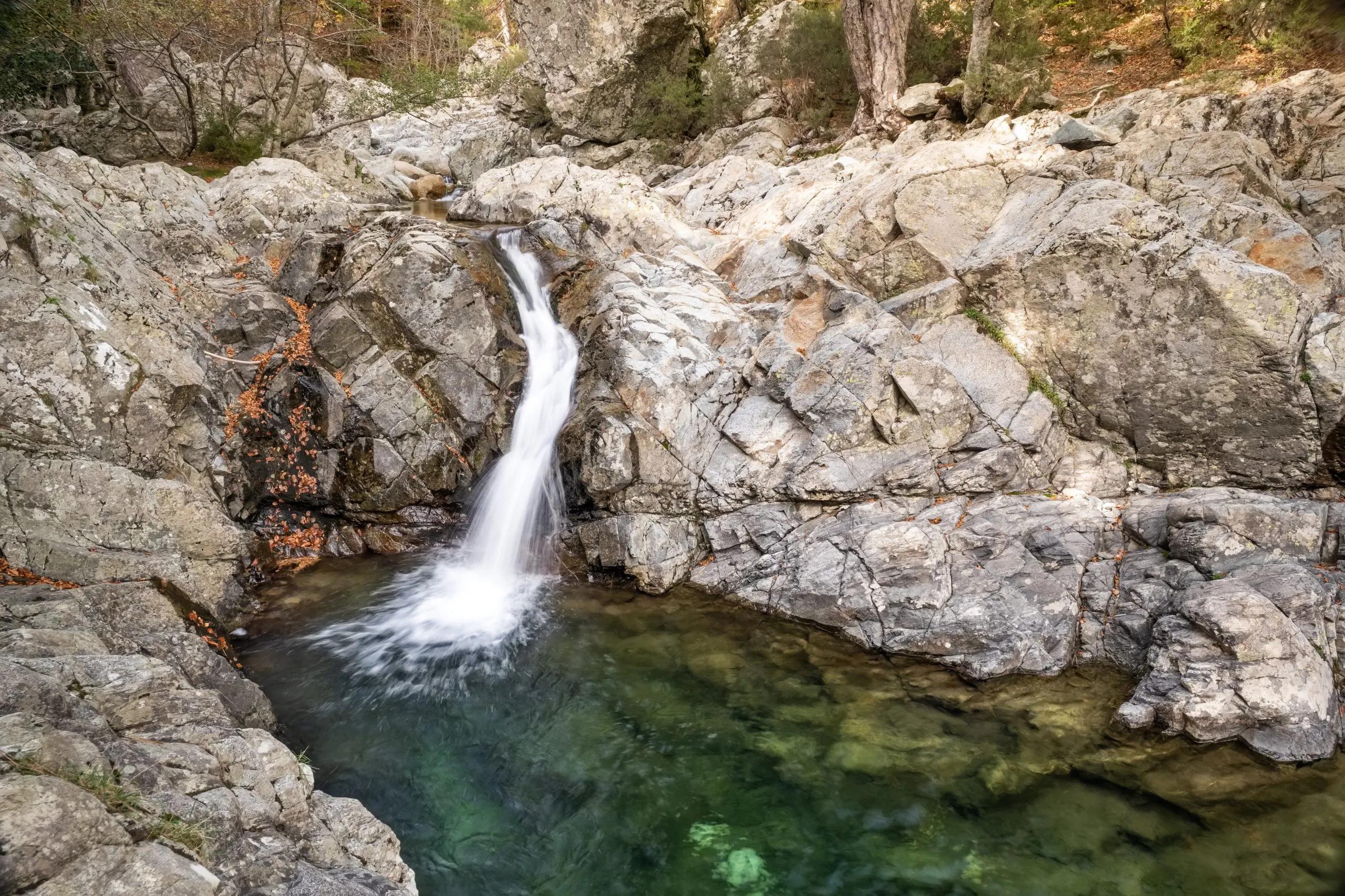
Descending towards the forested heart of Corsica, Vizzavona offers a welcoming break from the high mountains. This leg combines gentle paths with the historical and natural charm of Vizzavona, inviting you to explore its lush forests and small waterfalls. The day is relatively light so you can really take the time to appreciate how far you’ve come.
10 km, 200 m elevation gain, 1150 m elevation loss
Vizzavona
From Vizzavona, the path to Bocca Palmente is a well-maintained, zigzagging trail through the woods, offering an easy hike. After crossing the high col, the trail descends and follows a gentle, up-and-down route. Along the way, you’ll encounter two well-maintained shepherd’s cabins, Alzeta and Scarpaceghje. A final ascent through the woods leads you to a point just above the ski station at Capannelle.
15 km, 1050 elevation gain / 650 m elevation loss
Capannelle
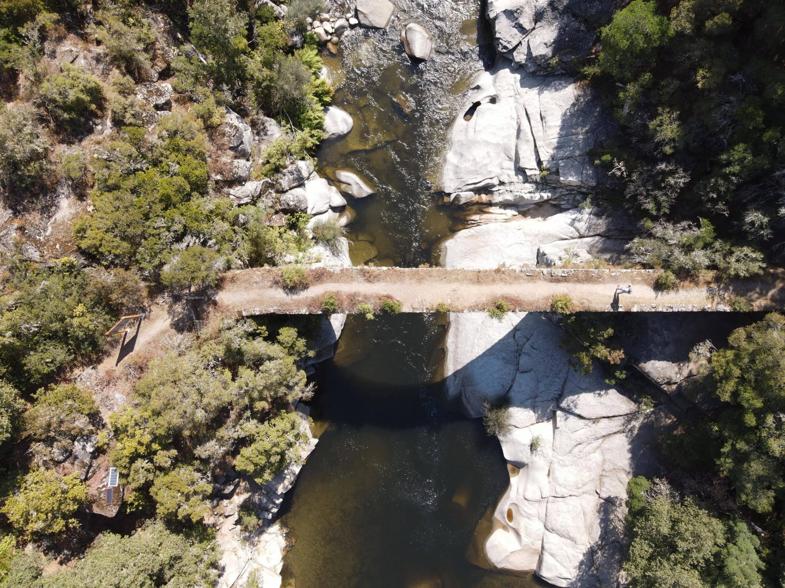
Today, you will head towards the scenic sheepfolds of Traghjete, then continue your hike to the Plateau of Ghialgone. Cross the I Spiazzi footbridge, a popular spot for bathing and a quick refresh, and make your way down through the forest until you arrive at the Col de Verde, where you will stay overnight.
8 km, 600 m elevation gain, 400 m elevation loss
Col de Verde
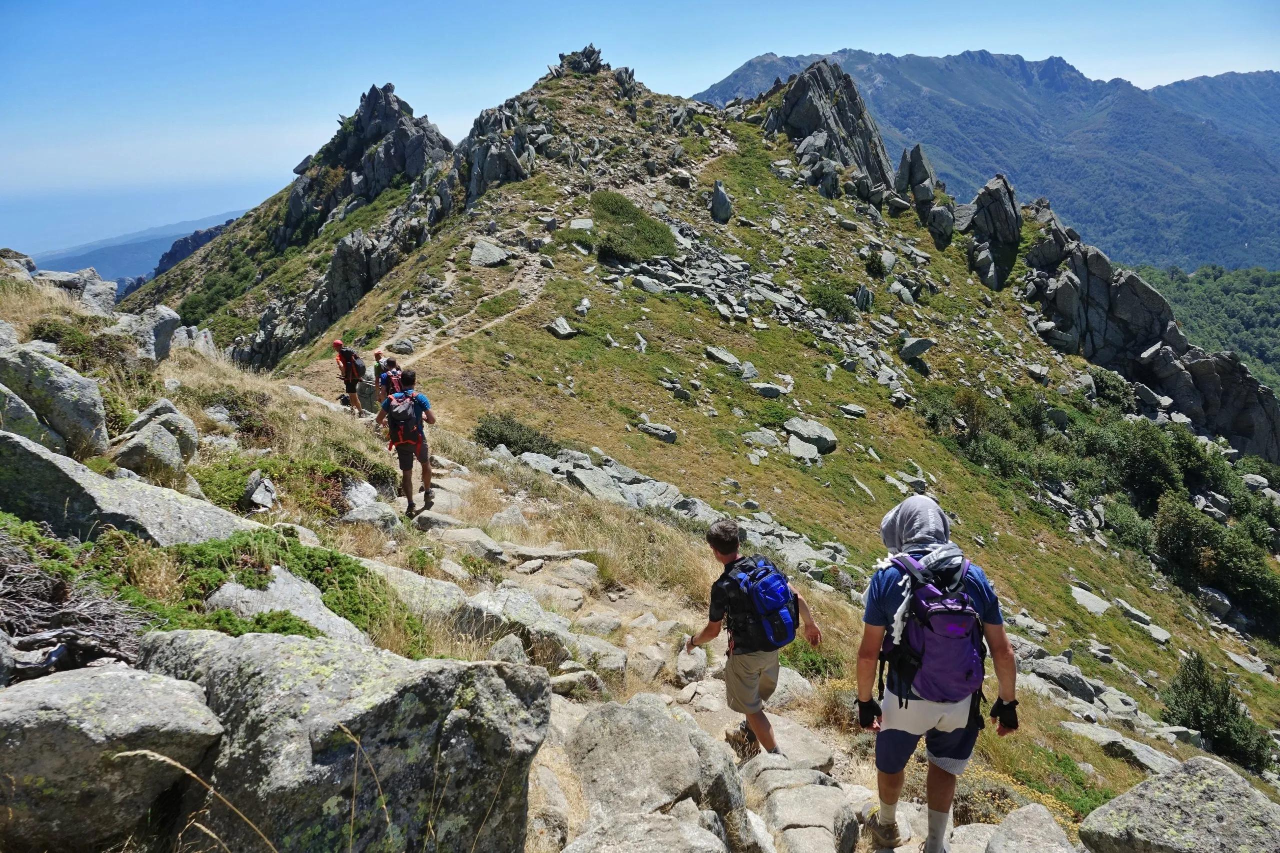
This leg of your adventure will reintroduce you to the rugged splendour of Corsica as you continue to a higher ridge walk. On one side, you will get to gaze down the East coast, and marvel at the valley of Taravo on the other. The day will be long and exposed so make sure you watch your step as you head to Refuge d’Usciolu.
12 km, 800 m elevation gain, 700 m elevation loss
Refuge d’Usciolu
Today’s hike to Cuscionu plateau challenges you with steep ascents and descents. The ridge you will walk across is roughly at 1800m and the trail topples from one side to the other so you have to go slowly. As you get to Croci, find some time to unwind and properly rest as tomorrow will be another challenging trail that will require a lot of focus.
10 km, 500 m elevation gain / 600 m elevation loss
Bergerie de Croci
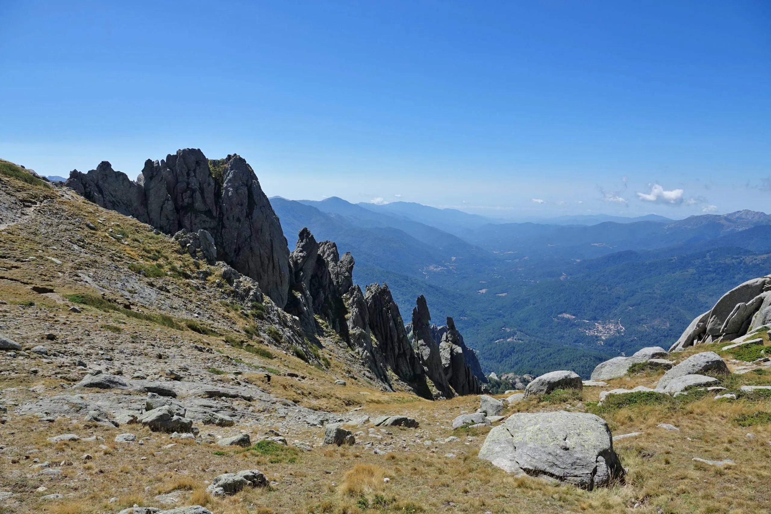
Another challenging trek will take you uphill towards the ridge and Bocca Chiralba, the highest mountain in the south section. The route heads down the other side of the ridge, down to the Asinau Valley. After a brief walk through the forest, you will encounter the high needles of Bavella. The path to the col de Bavella where you will spend the night is rough underfoot and requires a lot of concentration, but the views will be worth every careful step you take.
11 km 700 m elevation gain / 800 m elevation loss
Auberge du Col de Bavella
Your final trek from Bavella to Conca is a descent through diverse ecosystems, culminating in the picturesque village of Conca. This last day blends the awe of Corsica’s mountain majesty with the warming sense of accomplishment as the GR20 journey concludes.
12 km, 400 elevation gain / 1200 m elevation loss
Not enough? Why not spend a few more days here! Extend your holidays with a pre- or post-holiday extension. Accommodation, sightseeing, and activities can be arranged. Add as many extra days to your holiday as you wish.
Want to make some changes?
Self guided
Included in price
Optional Extras
Description
Discover the grandeur of Corsica and test your limits with the ultimate GR20 Hike!
This self-guided trek will take you across some of the most breathtaking landscapes in Europe. This trail covers the entire GR20, offering a comprehensive experience of Corsica’s diverse terrains, from Calenzana’s quaint charm to Conca’s serene beauty. Along the way, marvel at the majestic Monte Cinto, the lush forests of Vizzavona, and the striking needles of Aiguilles de Bavella.
Spanning across iconic locations, this technically demanding hike is a journey of discovery and endurance, inviting experienced hikers to take in the full majesty of Corsica. With options for cosy refuges, each day ends with rest amidst stunning views.
Our service simplifies the logistics of this demanding trek. From accommodations to detailed route guides and potential luggage transfers for specific days, we provide everything needed for a focused and enriching adventure. This freedom allows hikers to experience the trail at their own pace, supported by our team 24/7.
If you wish to get a taste of the GR20 before committing to hiking the entire trail, check out the challenging North or slightly lighter South GR20 hiking tours that provide you with just enough highlights to catch a glimpse of the full journey.
The GR20 awaits, promising an adventure of a lifetime through the heart of Corsica.
Map
Start planning today!
Things to know
From June through September is the prime time for trekking the GR20. In June, hikers you enjoy moderate temperatures and the lowest likelihood of encountering snow in the north. The months of July and August introduce warmer weather, requiring an early morning start to beat the heat. September, meanwhile, presents cooler temperatures but with an increased possibility of stormy weather.
Our tours have been classified on a difficulty scale ranging from 1 to 5, with 1 representing the least challenging and 5 indicating the most strenuous.
This rating system gives an idea of the physical fitness required and the amount of hiking involved. The majority of our tours are suitable for individuals who engage in regular physical activity and are capable of hiking for approximately five to seven hours each day.
The term “technical difficulty” refers to the level of skill needed to navigate the trail. A rating of 1 suggests the path is even and broad (similar to a gravel road), whereas a rating of 5 indicates the trail is rough and narrow, possibly requiring the use of hands for progress. Essentially, a higher rating necessitates greater agility and proficiency in climbing or scrambling techniques.
Regardless of the time you decide to embark on the GR20 hike, be prepared to face a variety of weather conditions. It’s common to experience a diverse range of temperatures within a single day, including thunderstorms, cold, fog, heat, and sunshine. To ensure you’re equipped for any situation, it’s crucial to bring suitable gear and clothing for the season. Keep an eye out for weather alerts and consult with refuge guardians each morning before taking on a new segment of the route.
Although some accommodations might provide blankets in pillows, you should still pack a sleeping bag. To help you figure out what to pack, we have created a special packing list for the GR20.
The GR20 is certainly one of the hardest long distance walks out there, partially due to its location. When evaluating your fitness level before taking on the full GR20 hike, you should keep in mind that it is a relatively remote trail stretching through the very centre of Corsica, making it difficult to stop the hike before reaching the halfway point in Vizzavona. Once there, you can choose to end your hike early and be proud of yourself for what you’ve accomplished.
If you can’t continue the tour due to an injury, it is best to call the local emergency services, available at the 112 number. If you are near one of the refuges, you can also ask the refuge guardian for assistance.
The GR20 is a very popular hike with a relatively short season and is estimated that over 10.000 hikers hike the trail every year. Due to limited spatial availability in most of the refuges (most of them have a capacity of roughly 35 indoor sleeping options), it is advised that you book your tour early as accommodations along the route tend to fill up quickly. We would recommend you book the tour a couple of months in advance, preferably before winter if you are planning your hike in the following year.
The complete GR20 hike begins in Calenzana.
The closest airport to Calenzana is Calvi, 13km from the starting point of the hike. You can get from Calvi to Calenzana via bus or taxi, or you can choose to take the traditional way – hitchhiking.
If your plane lands in Ajaccio, you don’t have to worry! The train will get you from Ajaccio to Calvi in four hours. Due to the long distance, the trains might not run often so make sure you check the schedule beforehand.
We recommend you get to Calvi the day before your hike so you can rest up before your journey.
The village of Conca in the south of Corsica marks the end of the GR20 trail.
The village is located 20km north of Porto-Vecchio, a famous seaside town. Most hikers opt for a shuttle service after their hike, which can take you directly to Porto Vecchio or to Sainte Lucie (6km from Conca).
We recommend you extend your stay for a day or two and explore the south of Corsica and rest after your hike.
When you are ready to return to the mainland, bus connections will take you from Porto Vecchio to Figari or Ajaccio.
Travel dates can affect the prices.